
History of the Rock of Van: according to the stone and the Armenian source
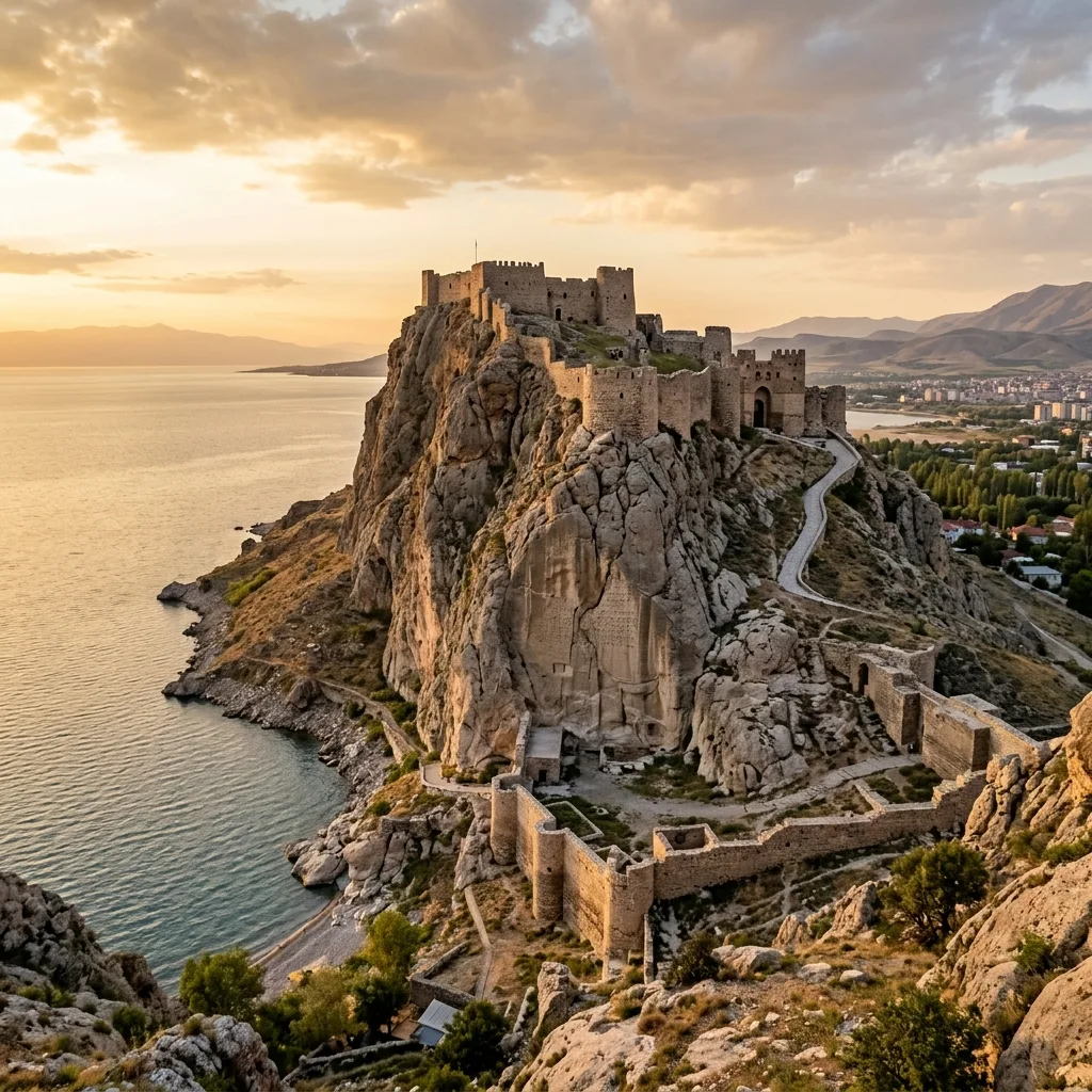
PART A. TESTIMONY OF THE ARMENIAN SOURCE
1. The Name That Lived 1,400 Years
This is the strongest Armenian fact in this entire story, and it is almost never voiced.
In Urartian cuneiform inscriptions, the capital is called Tushpa (Ṭušpa). In Assyrian annals, it is Turushpa. The city was destroyed in the 6th century BC, cuneiform was forgotten, and the language died.
A thousand years later, in the 5th century, Movses Khorenatsi calls this city Tosp.
In the "Ashkharatsuyts" ("Geography") of Anania Shirakatsi (7th century), Tosp is one of the gavars (districts) of the Vaspurakan province, specifically the gavar where the city of Van is located.
Linguistically, the phonetic transition Ṭušpa → Tosp is regular and generally accepted (Hübschmann, Adontz, N. Harutyunyan). There was no separate sign for "o" in Akkadian cuneiform, so the actual pronunciation of the Urartian name was probably closer to Tospa than to Tushpa.
The same pattern applies to the second name: the self-appellation of the state Biainili → the name of the gavar and the city of Van.
Conclusion (Level A). The Urartian state disappeared, but the names of its capital and country continued to live in the Armenian language as living, everyday toponyms. No other language preserved these names.
2. What Khorenatsi Saw

In the 16th chapter of Book I of the "History of Armenia", Khorenatsi describes the Rock of Van. What is important is what exactly he describes, regardless of whom he attributes it to.
According to Khorenatsi, on the southern (sun-facing) side of the rock, numerous temples, chambers, treasuries, and spacious caves are carved. The rock is so hard that, according to him, one cannot draw a line on it even with iron. He specifically notes that no one knows how they were built.
Further: the surface of the rock is smoothed, and numerous inscriptions are carved on it with such precision, "as if with a stylus on wax." Khorenatsi adds that inscriptions in the same script exist in many places in Armenia — on boundary stones and monuments.
Now let's compare with archaeology:
| Described by Khorenatsi | What it actually is |
|---|---|
| Chambers and caves carved into the rock | The rock-cut royal tomb of Argishti I and the Horhor complex |
| Smoothed surface with inscriptions | The trilingual inscription of Xerxes I (at a height of 20 m from the ground, in a smoothed niche) |
| Incomprehensible, unfamiliar writings | Urartian and Akkadian cuneiform |
| Inscriptions in various parts of the country | Stelae of Menua, Argishti, Sarduri throughout the Armenian Highlands |
| The canal as one of the wonders of Armenia | The Menua Canal, 51 km in length |
Evaluation (Level B). Khorenatsi's attribution is erroneous — these are not the structures of Semiramis (Shamiram). But his observation is accurate. He describes real monuments that still stand today: rock-cut tombs, a smoothed surface, cuneiform, and the canal. This is the testimony of a person who either saw them himself or had a reliable description of what was seen.
And most importantly: Khorenatsi presents the Urartians as the direct predecessors of the Armenians in the same place.
3. How the Armenian Source Discovered the Urartian Language
This is the least known, but the strongest part.
In 1802, Carsten Niebuhr published cuneiform inscriptions found in Persepolis. A race to decipher cuneiform began in Europe.
In 1827, the Asiatic Society in Paris (Société Asiatique) sent an expedition to Van. What did they want to verify? The text of Movses Khorenatsi — his description of the city of Van, the rock, and the incomprehensible writings.
The expedition was led by the German orientalist Friedrich Eduard Schulz. He copied the inscriptions in Van. In 1829, he was killed in Hakkari, but his papers reached Paris.
Consequences:
- 1836 — Eugène Burnouf, studying the trilingual inscription from Van copied by Schulz, recognized about thirty signs of Old Persian cuneiform. This was one of the decisive steps in deciphering the Old Persian language.
- Based on the same material, science discovered a completely unknown language — Urartian, the existence of which no one had previously suspected.
Conclusion (Level A). Urartu was rediscovered thanks to the fact that a 5th-century Armenian historian recorded what he saw on the Rock of Van. It was Khorenatsi's text that physically directed Schulz to Van. Without the Armenian source, the rediscovery of this entire civilization would have been delayed by decades.
4. What Khorenatsi Does Not Talk About
For the sake of fairness, this must also be clear.
Armenian medieval sources know nothing about:
- Sarduri I
- Menua, Argishti, Rusa
- The state of Urartu/Biainili as a state
- The content of the inscriptions
For Khorenatsi, the structures on the rock are the work of Semiramis (Shamiram). The chronological calculations he provides (Hayk, Bel, Ara) are not historical dating.
We know about all of this only from cuneiform inscriptions — that is, directly from the stones located in Van. They are not Russian, not Turkish, and do not serve the interests of any modern state. They are original, written in the 9th–7th centuries BC.
It is to them that we now turn.
PART B. WHAT THE STONE SAYS
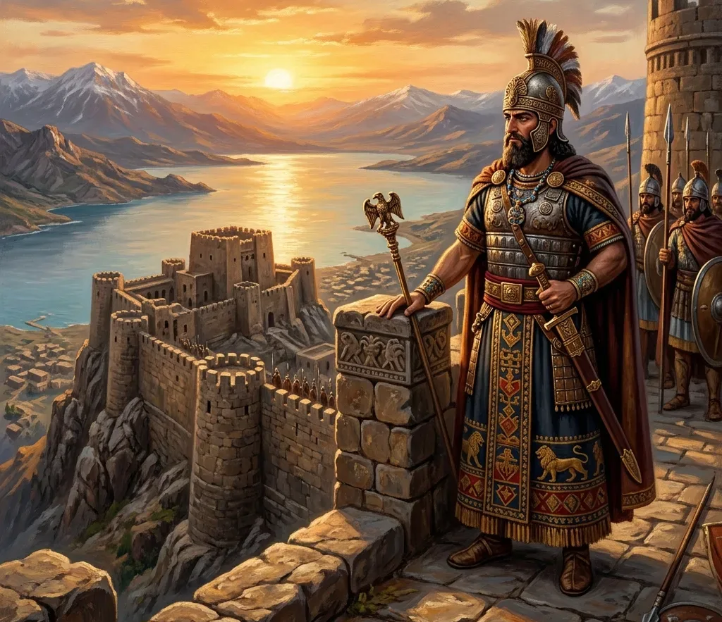
5. Sarduri I and the First Text
Time: around 834–828 BC (Salvini's chronology). Other schools suggest 840–830 or 835–825 BC. In any case — the second half of the 9th century.
Background: The first known king of Urartu was Arame (~858–844), whose capital Arzashkun was burned by Shalmaneser III in 856 BC. After this defeat, the center moved to the shore of Lake Van. Tushpa, therefore, is not the first capital of Urartu, but the first stable one.
The Lutipri Question: Sarduri calls himself the "son of Lutipri," but Lutipri is not mentioned in any other source. Perhaps he never ruled.
6. Sarduriburch — the Oldest Surviving Structure of Urartu
At the northwestern foot of the rock stands a cyclopean wall masonry.
| Parameter | Value |
|---|---|
| Base dimensions | ~47 × 13 m |
| Surviving height | ~4 m |
| Length of blocks | up to 6 m |
| Thickness of blocks | ~0.75 m |
A copious spring gushes beneath the structure. What it was — a defensive wall, a retaining wall, a pier, or a ritual platform — is not exactly known.
7. The Inscription: Full Text
Six identical inscriptions are carved on the blocks. Scientific index: CTU A 1-1.
“Inscription of Sarduri, son of Lutipri, the great king, the mighty king, king of the universe, king of the land of Nairi, a king who has no equal, a wondrous shepherd, not fearing battle, a king who subdued the rebellious.
I, Sarduri, son of Lutipri, king of kings, who received tribute from all kings.
Thus says Sarduri, son of Lutipri: these limestone blocks I brought from the city of Alniunu and built this wall.”
Important clarification: This is not a declaration of the founding of the city, but a construction inscription. The fact that Sarduri I is the founder of Tushpa is a modern scientific conclusion based on the fact that this is the oldest datable text in this area.
8. Why It Is Written in Assyrian
All six inscriptions are made in the Akkadian language in Neo-Assyrian cuneiform. Not in Urartian.
The reason is simple: in the middle of the 9th century BC, the Urartian writing system did not yet exist. Urartian cuneiform, adapted from Assyrian signs, was formed under Ishpuini (~828–810) and especially under Menua (~810–786).
For the same reason, the expression "king of the universe" in the original sounds in Akkadian as šar kiššati — a direct borrowing from the Assyrian royal titulary.
That is, the founding text of Van is written in the enemy's language, in the enemy's script, with the enemy's titles. Not out of servility, but because no other writing system existed in the region. Just a generation later, Urartu had its own script.
9. Alniunu and the Question of the Stones
The inscription says that the stones were brought from the city of Alniunu. The location of this toponym is unknown.
Petrographic analysis (thin section analysis) showed that the structure is built from two types of rock:
- limestone — the nearest source is on the Tushpa rock itself
- travertine — the nearest source is in the Edremit area (~10 km to the south)
That is, transportation did take place, but we are not talking about dozens of kilometers.
10. The Question of Weight
The most frequently cited figure on the internet is "30–40 tons." It comes from pseudo-archaeological publications and mathematically does not add up:
| Indicator | Value |
|---|---|
| Volume of the largest block | ~4–5 m³ |
| Density of limestone | 2.3–2.6 t/m³ |
| Weight (volume × density) | ~10–13 tons |
Archaeological publications cite a figure of "up to 10 tons."
Why is this important? Because by writing "30 tons," you make it possible to refute your entire text in one sentence. Whereas 10 tons, a block 6 meters long, laid with millimeter precision without metal cranes — this remains an astonishing and undeniable achievement.
11. How the City Grew
| King | Time (BC) | Contribution |
|---|---|---|
| Ishpuini | ~828–810 | Urartian writing system, centralization of the cult of the god Khaldi |
| Menua | ~810–786 | Canal with a length of 51 km |
| Argishti I | ~786–764 | Rock-cut tomb, "Horhor Chronicle", Erebuni — 782 BC |
| Sarduri II | ~764–735 | Peak of Urartu's power |
| Rusa II | ~685–645 | The last major builder (Karmir Blur) |
The Menua Canal: Starts in the Gürpınar area, passes through Edremit, and reaches the Van plain. Length — 51 km, width — 3.5–4 m, depth — 1.5–2 m, water discharge — ~3–3.5 m³/s.
It is still operational today and irrigates about 5,000 hectares. Urartian inscriptions preserved along the canal unambiguously name Menua as the builder. The popular name "canal of Semiramis" (Shamiram) is precisely an echo of the tradition recorded by Khorenatsi.
Erebuni: The inscription on the founding of the city by King Argishti I dates back to 782 BC. The name Yerevan originates from this city — another Urartian name that lives in the Armenian language to this day.
In total, 101 inscriptions have been discovered in Tushpa and its surroundings.
12. Wars with Assyria
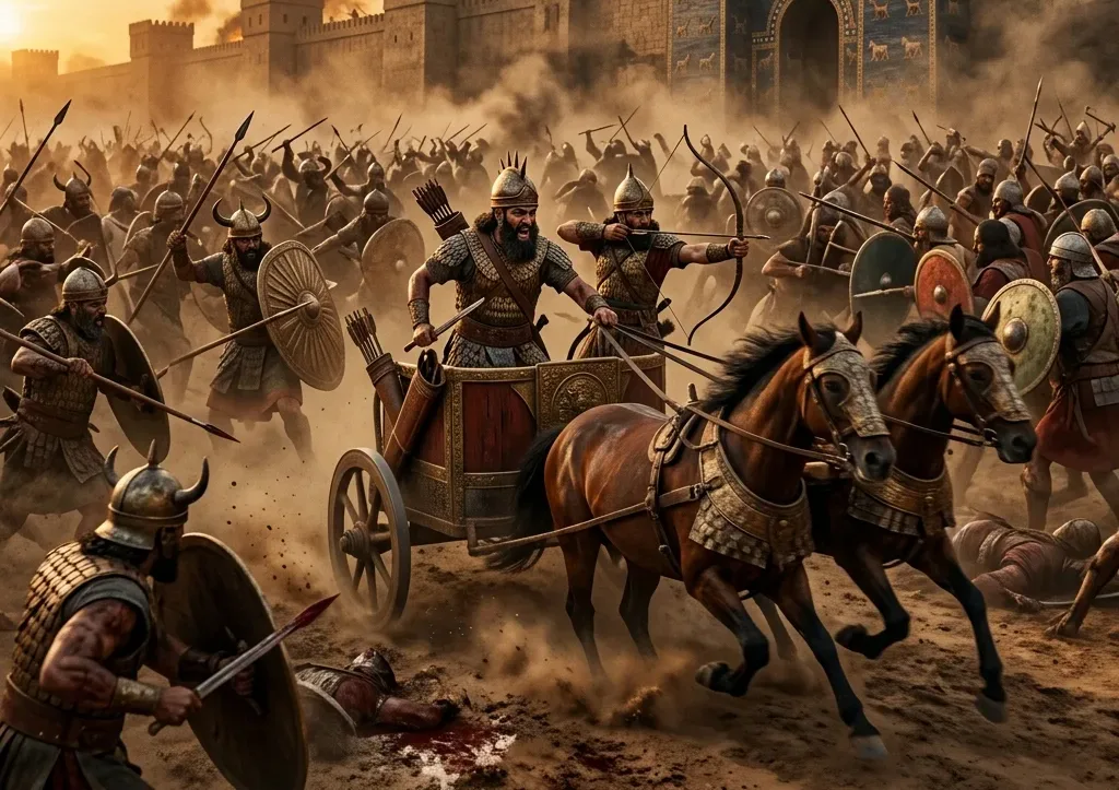
- 743 BC — Tiglath-Pileser III defeats the army of Sarduri II at Kummuh.
- 735 BC — Tiglath-Pileser III besieges Tushpa. Original Assyrian chronicle: “Sarduri the Urartian in Turushpa, his main city, I shut up, a great defeat I inflicted on him before the city gates. The image of my majesty I set up before the city.” Result: the lower city was burned, but the citadel did not fall. The Assyrians retreated.
- 714 BC — 8th campaign of Sargon II. Tushpa was not attacked — the sanctuary in Musasir was destroyed.
Attention: these facts come from Assyrian sources, i.e., from the reports of the enemy. When the enemy himself writes that he did not take the city, it is the most reliable evidence.
13. The Fall
Biainili disappears from written sources around 590–585 BC.
Archaeology testifies to a violent demise: almost all the fortresses built by Rusa II were destroyed by fire, including Karmir Blur. The identity of the destroyers is debated: Medes, Scythians, Cimmerians, or internal collapse.
14. The Behistun Inscription — Urartu = Armenia
This is the most important single fact in this article.
In 520 BC, Darius I ordered an inscription about his victories to be carved on the Behistun Rock in three languages: Old Persian, Elamite, and Babylonian (Akkadian).
When listing the countries of the empire, the same country is mentioned as:
| Language | Name |
|---|---|
| Old Persian | Armina (Armina) |
| Elamite | Harminuya (Harminuya) |
| Babylonian | Urashtu (Uraštu = Urartu) |
Level A, original, 520 BC. That is, just seventy years after the fall of Urartu, an official document of the time equates Urartu and Armenia. This is not a later interpretation, not a national narrative, and not a 19th-century theory. This is the very formulation of the people of that era, carved in stone.
15. The Inscription of Xerxes on the Rock of Van
On the southern slope of the Rock of Van, at a height of 20 meters from the ground:
- Trilingual inscription of Xerxes I (486–465 BC)
- 27 lines, three columns: Old Persian, Babylonian, Elamite
- The niche was smoothed by Darius I, but he did not carve the text
- The only Achaemenid royal inscription outside Iran
By this time, the territory was already the satrapy of Armina (Armenia).
It was a copy of this inscription that led Burnouf to the decipherment of Old Persian cuneiform in 1836.
PART C. VAN AS THE CAPITAL OF ARMENIA
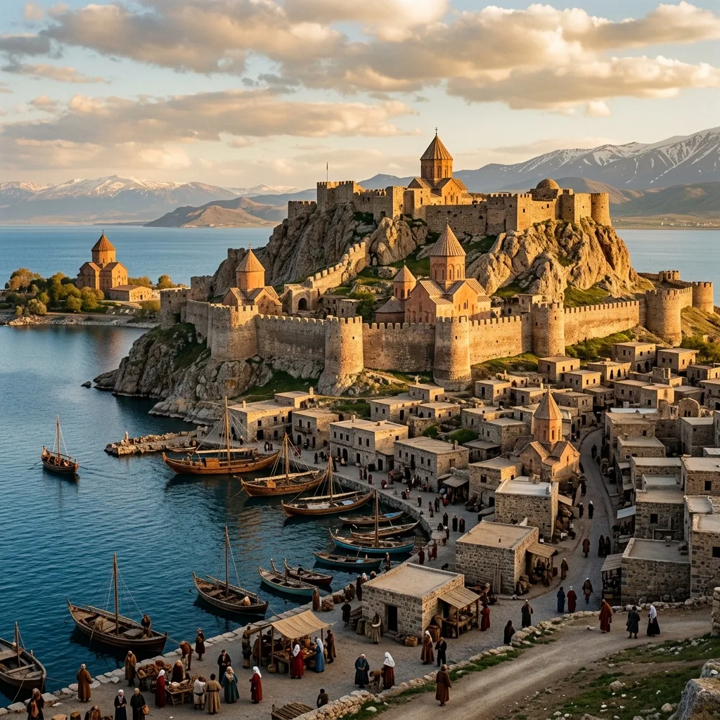
Here there is no longer any doubt, and Armenian sources are the primary ones.
16. The Kingdom of Vaspurakan
- 908 — Gagik Artsruni is crowned as King of Vaspurakan
- 915–921 — the Church of Surb Khach (Holy Cross) is built on Akhtamar
- 1021/1022 — Senekerim-Hovhannes Artsruni cedes the kingdom to Byzantium
The primary source is the "History of the House of Artsruni" by Tovma Artsruni (10th century) — a contemporary witness account written in Vaspurakan itself.
The "Ashkharatsuyts" of Anania Shirakatsi presents Vaspurakan as one of the provinces of Greater Armenia with its gavars, among which is Tosp.
The Rock of Van was twice the center of a state, with a difference of approximately 1,750 years.
PART D. URARTU AND ARMENIA. WHAT WE ACTUALLY HAVE
Exaggeration in this matter is the most dangerous, because the real evidence is strong, while false claims only cast a shadow on it.
What is proven
1. Territorial continuity — the same Armenian Highlands, the same centers.
2. Nominative continuity — they have all been preserved in the Armenian language:
- Tushpa → Tosp
- Biainili → Van
- Urartu → Ayrarat / Ararat
- Erebuni → Yerevan
3. Contemporary testimony — Behistun, 520 BC: Urartu = Armina.
4. Lexical influence — words of Urartian-Hurrian origin are present in the Armenian language (studies by G. Jahukyan).
5. Continuity of statehood — this was the first centralized state of the Armenian Highlands, and Armenian statehood was formed precisely on this basis, with the same centers.
What is not proven
The Urartian language is not the ancestor of Armenian. The Urartian language belongs to the Hurro-Urartian language family. Armenian is Indo-European. These are different language families.
This in no way weakens the connection between Armenia and Urartu. The language of states and the language of the population in history often do not coincide. Urartu was a multilingual state, the Armenian-speaking population was part of it, and after the fall of the state, it was the Armenian language that became the language of this territory, inheriting its toponyms.
The strongest formulation that withstands any criticism: Urartu is the first state of the Armenian Highlands and the direct predecessor of Armenian statehood on the same territory, with the same centers, and the same toponyms that the Armenian language has preserved to this day. And their contemporaries as early as 520 BC called this country Armenia.
17. What Is Not a Fact
❌ "The blocks weigh 30–40 tons" — calculation by dimensions yields 10–13 tons.
❌ "The inscription is a birth certificate of the city" — this is a construction inscription.
❌ "Sarduri built this to defend against the Assyrians" — the motive is not mentioned in any source.
❌ "The walls stand indestructible" — ~4 m of Sarduriburch has survived.
❌ "Semiramis built Van" — inscriptions on the canal mention Menua. The legend is beautiful and valuable, but it is a legend.
❌ "The Urartian language is Old Armenian" — different language families.
❌ "Khorenatsi's datings are accurate" — the chronology of Hayk, Bel, and Ara is not a historical calculation.
❌ "The spaceship from Toprakkale" — according to museum specialists, is a fake and was never exhibited.
Summary
The Rock of Van has stood for about 2,850 years.
It was born out of an Assyrian defeat as a new, secure center. It wrote its founding text in the enemy's language because its own language did not yet have a writing system — though a generation later, it did. It withstood the Assyrian army, and the enemy himself recorded this. In 520 BC, this country was already called Armina. On its rock, it bore an Achaemenid inscription that centuries later helped humanity decipher cuneiform. 1,750 years later, it once again became a capital — of Vaspurakan.
And the name Tosp, tracing back to the Urartian Ṭušpa, lived in the Armenian language for fourteen centuries after the city itself was destroyed.
And the 51-kilometer canal dug by Menua, created in the 9th century BC, still carries water to this day.
Sources by Type of Evidence
Original Inscriptions (Level A)
- Salvini, M. — Corpus dei Testi Urartei (CTU), Vol. 1–5
- Harutyunyan N. — Corpus of Urartian Cuneiform Inscriptions (Armenian edition of Urartian inscriptions)
- Melikishvili G. — Urartian Cuneiform Inscriptions (UKN)
- The Behistun Inscription, trilingual original
- Achaemenid Inscriptions, XV (Van)
- Assyrian Royal Annals (Shalmaneser III, Tiglath-Pileser III, Sargon II)
Armenian Medieval Historians (Level B)
- Movses Khorenatsi — "History of Armenia", Book I
- Anania Shirakatsi — "Ashkharatsuyts" ("Geography")
- Tovma Artsruni — "History of the House of Artsruni"
Scientific Studies (Level C)
- Kapantsyan G. — History and Language of Urartu
- Jahukyan G. — The Relationship of the Urartian and Armenian Languages
- Yeremyan S. — Historical Geography of Greater Armenia
- Hamayakyan S. — The State Religion of the Kingdom of Van
- Israyelyan M. — Urartian Epigraphy
- Adontz N., Hübschmann H. — Historical Toponymy
- Piotrovsky B. — The Kingdom of Van, Excavations of Karmir Blur
- Zimansky, P. — Ecology and Empire: The Structure of the Urartian State
- Sagona, A. & Zimansky, P. — Ancient Turkey
Field Data and Laboratory Analyses (Level A)
- Petrographic study of Sarduriburch, thin section analysis
- Publications of the Tushpa excavations (Tarhan, Konyar)
- Marr N. and Orbeli I. — The Van Expedition, 1916
Sources are chosen by the type of evidence, not by the nationality of the author. The original inscription, measurement, and laboratory analysis are verifiable regardless of who published them. If you notice an error in the article, please write in the comments, indicating the source.
💬CommentsClick to read and leave a comment⌄
No comments yet. Be the first!